This is what remains of Route 66 just west of St. Louis, MO, alongside I-44. Behind us is a cemetary and a barrier preventing further eastward travel. About one mile to the west is Times Beach, a modern dioxin-rich ghost town. In 1997, the EPA would not let us cross the bridge into 'town'. 66:51

In 2000, Ryan and I returned to Times Beach, MO, a community whose tortured history included floods and chemical contamination. Fortunately, Times Beach has been converted to Route 66 State Park, and the original road and bridge over the Meramec River have been saved. 66:51
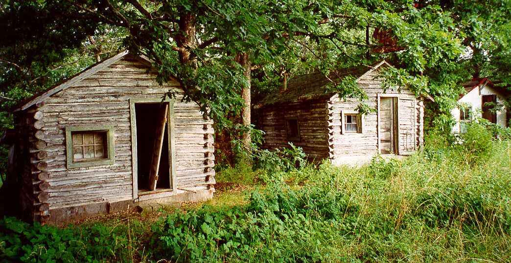
John's Modern Cabins, just west of Rolla, MO, an archetypical example of the 'interstate effect'. You can stand in the median of I-44 and look east into Rolla (or a hundred other similar towns). Your eyes are filled with the light emanating from hotels, motels, fast-food places, and the dozens of other similar establishments born of the interstate. You can look west at the ruins on Route 66 - made ruin by the interstate.
I'd rather have no junk food for the rest of my life than have to stay here. 66:51
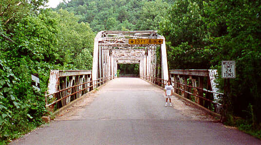
Ryan bounced around at the west approach to the bridge over the Big Piney River, Devil's Elbow, near Waynesville, MO. 66:51
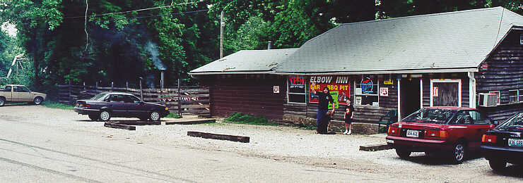
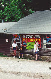
Ryan & I were delighted to find the Elbow Inn back in business, just north and east of the bridge (on the left in the photo). See the smoke from the smoker? Great BBQ and conversation kept us there through lunch. Be sure to stop by, or at least give Chris, Nicki and the gang a shout at elbow@jobe.net 66:51
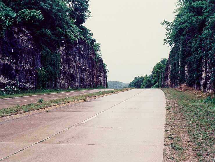
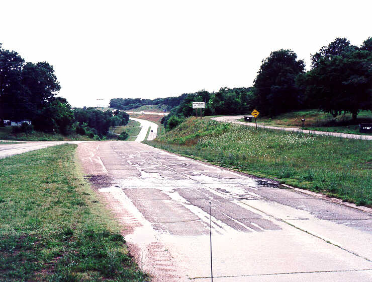
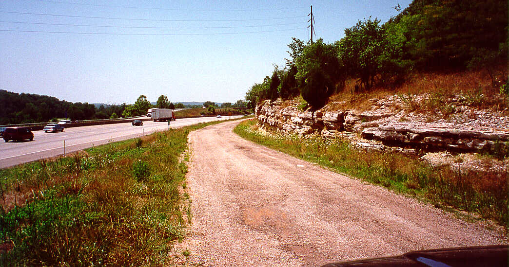
I believe that in each of the five years Ryan & I have been to Devil's Elbow, MO, it has rained. It does not matter, though. The four-lane stretch cutting though the limestone hills east of the elbow (first photo) and the transition west of it to the interstate (second photo) is not to be missed. That transition includes an older two-lane alignment, at the extreme right edge of the photo (see the yellow DEAD END sign?). 66:51
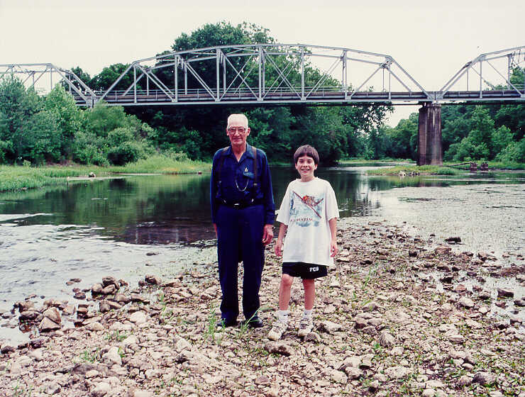
Between Spud Hollow and Hazelgreen, MO, we had another remarkable encounter in 2000. In the background is the bridge carrying Route 66 over the Gasconade River. Ryan likes to stop there and play in the water, whose level in June 2000 was quite low. Notice he is standing on an island in the river. While we were exploring, this gentleman introduced himself, and I mentioned that Ryan & I are Route 66 explorers. Mr Cecil Hawkins then recounted his teenhood, spent in part hauling sand in the late 20s and early 30s to build Route 66. We chatted a while, and he described how he would haul and then dump the sand and other fill as the road was being constructed. I told him that I would place his picture on the Internet so that others could appreciate the early builders of the road we cherish and enjoy. 66:51
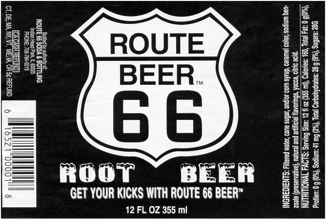
We discovered Route 66 Root Beer in Missouri. Great stuff, although I prefer the different taste found in Route U.S. 66 Root Beer.
The best root beer in the world. I asked for it every time we stopped. 66:51
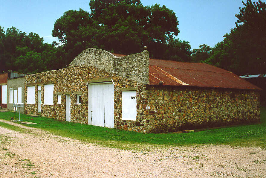
West of Halltown, MO, on a section of old Route 66 south of the newer alignment (MO 96) are the remains of the town of Spencer, MO. There is a beautiful old truss bridge spanning Johnson Creek nearby. 66:51
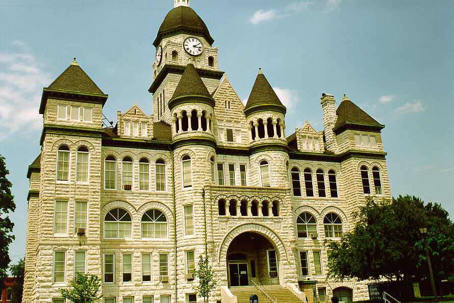
A very impressive courthouse, in Carthage, MO. When I get arrested, I would prefer to be held here. 66:51