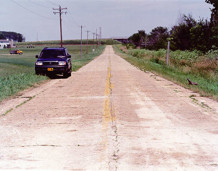
 The ER4-B rural recon vehicle is parked on an alignment of Route 66 now named Arney, between Towanda and Normal, IL. A new housing development and the overpass for CR 1600 (in the background) orphaned this road.
Here are some of the pictures and accounts of the 2001 Tour. The pictures shown on this page are thumbnails; a click on the thumbnail fetches the full sized version. You can return here by clicking on your browser's Back button.
The ER4-B rural recon vehicle is parked on an alignment of Route 66 now named Arney, between Towanda and Normal, IL. A new housing development and the overpass for CR 1600 (in the background) orphaned this road.
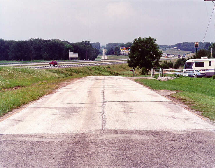 South of Lebanon, MO, I-44 cut off the alignment of Route 66 in the foreground. It extends for about a mile behind me before encountering I-44 again. In the background is County Road W, former Route 66.
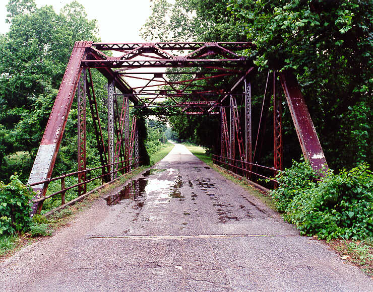 This beautiful old truss bridge spans Johnson Creek, on the south end of Spencer, MO.
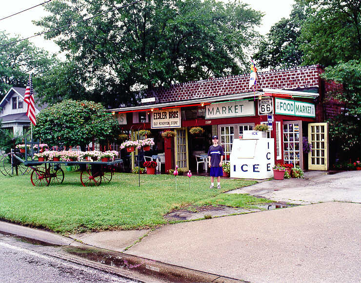 Kansas may have only about 13 miles of Route 66, but then again it has Eisler Brothers Old Riverton Store.
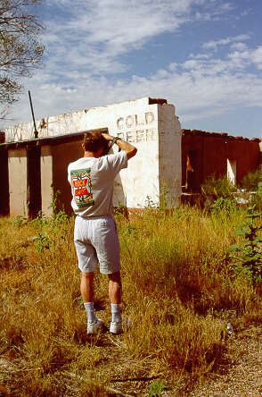
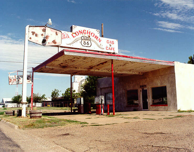 Here are the remains of the Longhorn Gas 'N Cafe, Vega, TX.
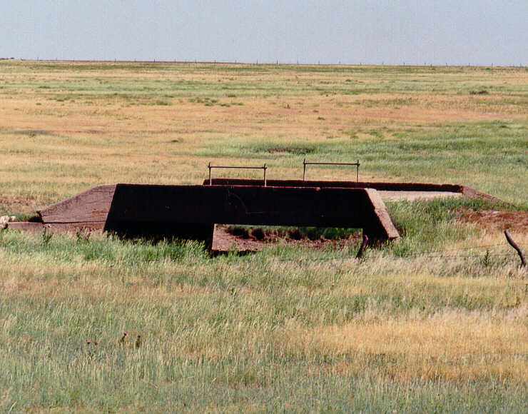 Between Vega and Adrian, TX, are at least two examples of concrete bridges on the north side of the abandoned RR tracks. This suggests that an even older alignment of Route 66 was there.
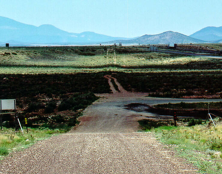
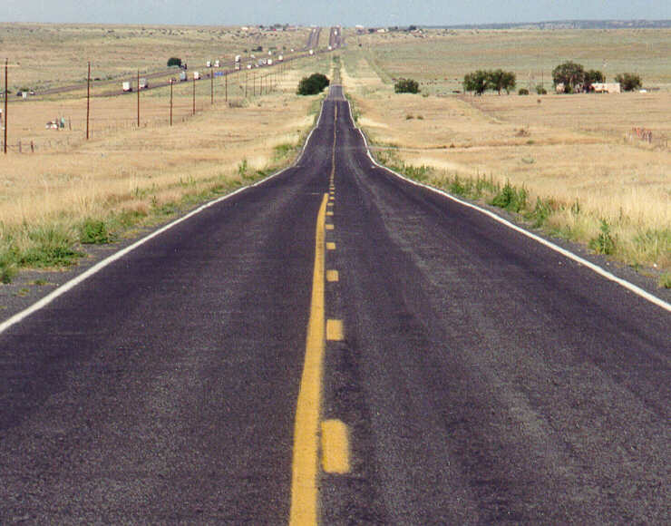 At the ruins of the Longhorn Ranch (I-40 exit #203 in New Mexico), the access road was Route 66. Here is the view to the east towards Clines Corners, NM.
 And here is the view west towards Albuquerque.
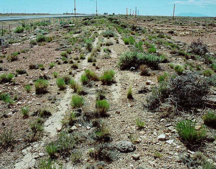
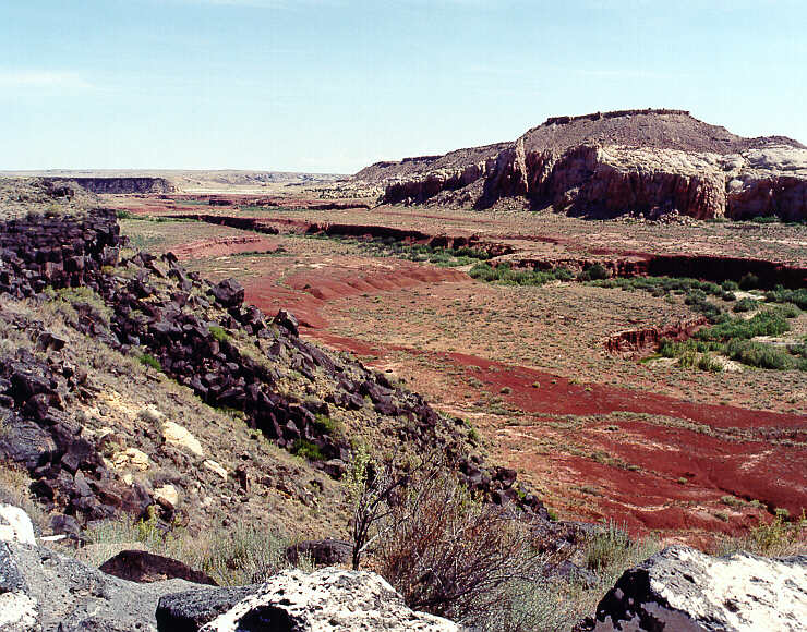 Just south of Correo, NM, on NM6 (old Route 66 from the '20s) the San Jose River has cut into the volcanic terrain at the edge of the roadway.
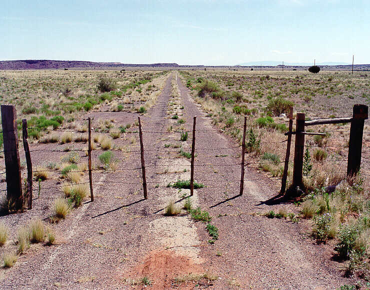 In the mid-'30s, Route 66 extended west out of Albuquerque, NM, up Nine Mile Hill. This is a view east-northest on this alignmnet, on native American land. It encounters I-40 about 3 miles in the distance.
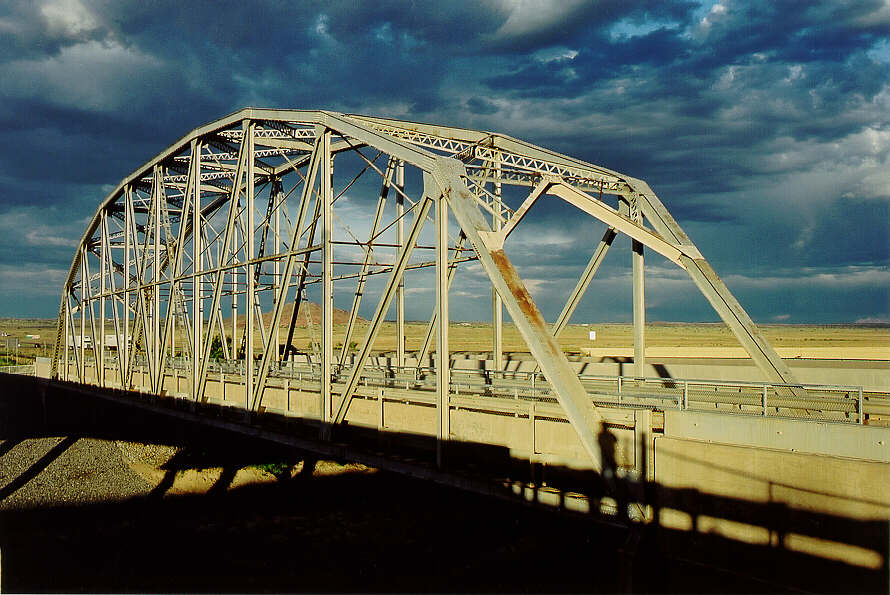 If you could continue northeast from the gate above, you would encounter this bridge, immediately adjacent to I-40, over Rio Puerco.
 Old 66 passed through Meteor Crater rest area (behind me) on I-40 in Arizona. This fragment extends west to the other rest area for eastbound I-40 traffic.
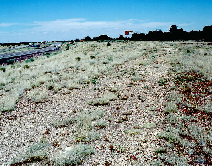
 West of Two Guns AZ old 66 extended west, south of I-40. You can see the road immediately in front, then you can see the faint twin ruts climbing the sunlit hill toward I-40 in the background.
 Immediately west of Twin Arrows, and the I-40 bridges over Padre Canyon (on the left) old 66 extended south of I-40 for a short distance. I increased the contrast on this photo, loking to the east, to show the graveled alignment.
 "I love my job!"
Jim, Shellee, and Steve invited Ryan & me to accompany them on a tour from Tucumcari to Albuquerque NM the week prior to the big 75th anniversary celebration July 2001. Here are a few photos.
 Here is the Pathfinder, finding, er, some, ah, paths. |
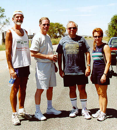 Shellee, Steve, and Jim (R to L) and Ryan & I caught up with David, who was running and walking Route 66 from Chicago to Santa Monica! |
 We traveled the pre-1930s alignment of 66 north from I-40 near Santa Rosa, west to Santa Fe, then south to Albuquerque. This "Santa Fe Loop" followed along the earlier Santa Fe Trail, remembered in stone in Tecolote, NM. |
 This bridge formerly spanned Tecolote Creek in Tecolote, NM. The "creek" is actually more of a wash, and has been dry each time Ryan & I visited here. |
... and the 1997-2000 Tours are here.