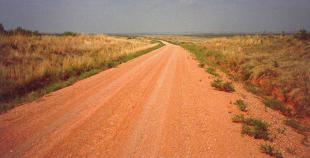
Just west of Glenrio rests a very old section of Route 66, extending to Endee, NM, and to San Jon. 66:51
 Here is an aerial view of this region. Click this thumbnail for further information. 66:51
A view to the northeast on old Route 66 in New Mexico. 66:51
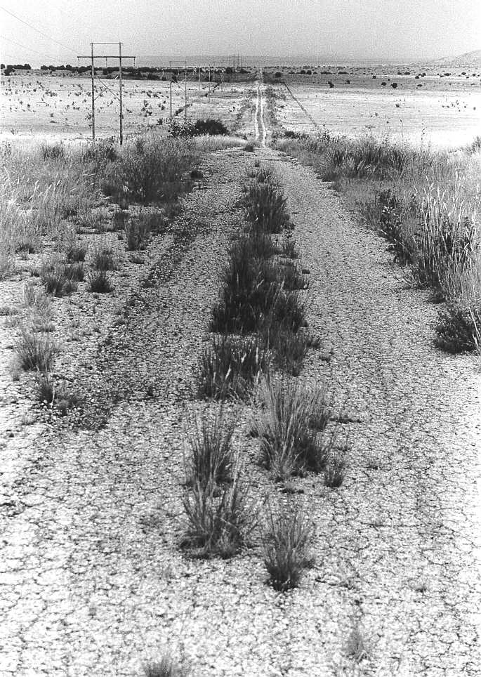
 Here is an aerial view of the region west of Tucumcari, NM. Click this thumbnail for further information. 66:51
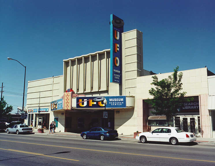
In 1999, we detoured south to Roswell to check out alien body parts, but all we found were six museums/gift shops full of saucer-crash memorabilia. The big museum and "research center" is in the foreground. On the left, just above the US highway 285 sign (on the lamp post) is a saucer on the roof of another gift shop. 66:51
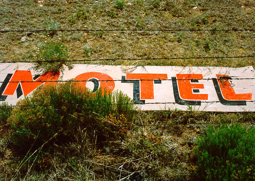
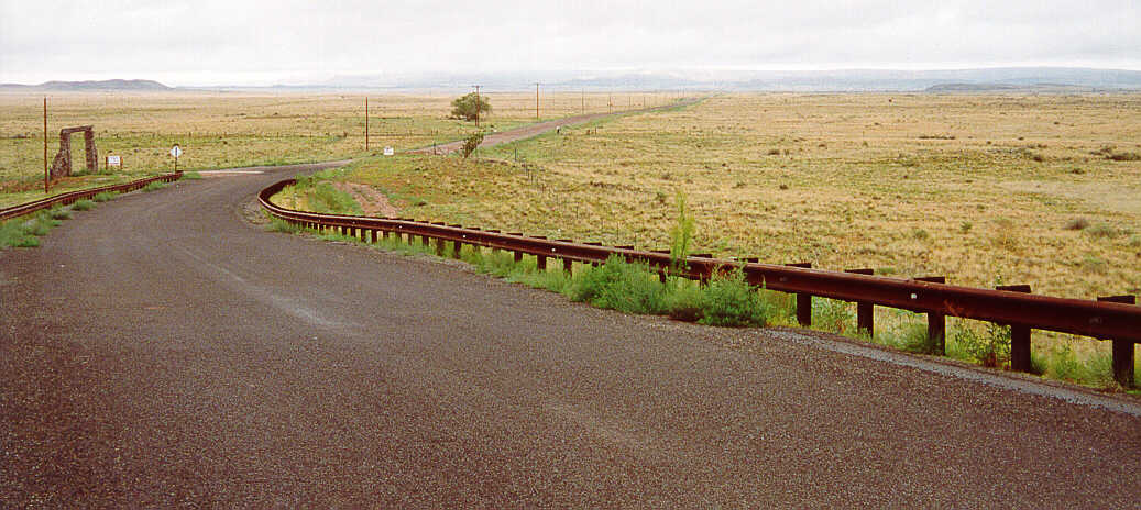
West of Santa Rosa, at marker 263 on I-40, is an old alignment of Route 66. I thought about the unknown and unnamed Motel, separated in time and place by the barbed wire. 66:51
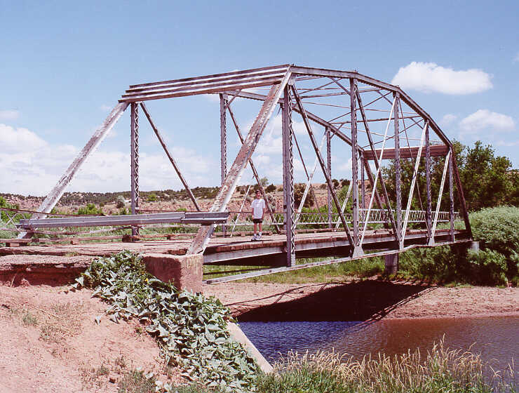
In 2000, we traveled the Santa Fe loop. Little of the original route remains. Conspicuous by its absence is the roadway on either side of this bridge over the Pecos River, in San Jose, NM. 66:51
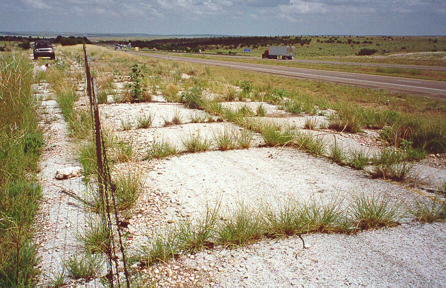
West of a rest stop at mile marker 252 on I-40 is an old section of Route 66. It ends at the top of a hill at the interstate. The ER-4A is up to the task. 66:51
On Route 66, Ryan is lighting off some fireworks we purchased at a Stuckeys. Pyromania is a many spendored thing.
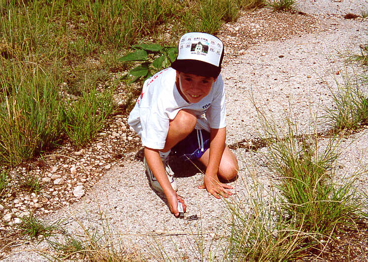
I set off a bunch of firecrackers here. A mosquito bit me so I blew him away. 66:51
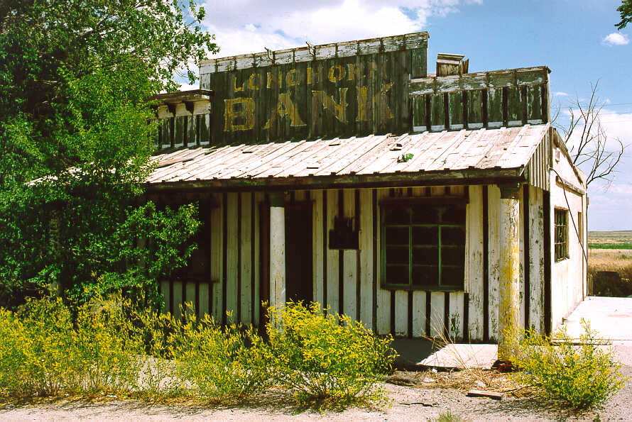
Here are the remains of the Longhorn Ranch, a tourist stop along Route 66. Few structures remain, except for this bank building. There is a truck stop at this exit (203) from I-40. 66:51
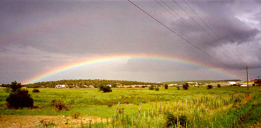
RYAN'S FIRST RAINBOW - just east of Albuquerque. He told me that he had never seen one in the sky. I did not know that and I felt suddenly very old. I explained the physics of the phenomenon - even the secondary rainbow above the primary (barely visible on the photograph).
It's the first rainbow I ever saw. The top rainbow has its colors backwards from the bottom one. 66:51
Ryan is sharpening his engineering skills at the Route 66 diner in Albuquerque, NM. This particular bridge appears somewhat prone to self-immolation. 66:51
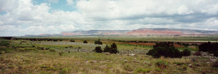
South and west of Albuquerque, NM, old Route 66 extends from Correo to Mesita. 66:51
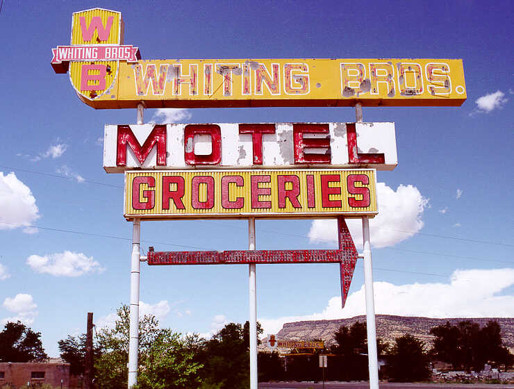
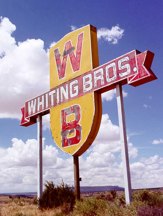
Somewhere near San Fidel, NM, we stumbled across this ruin. Whiting Brothers facilities were once popular and numerous. Now ...
This emphasizes the need (mine, at least) to get out on the road, while we still have much of it to explore. 66:51
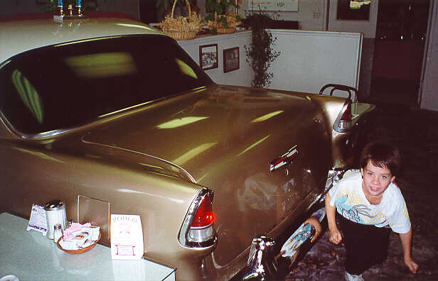
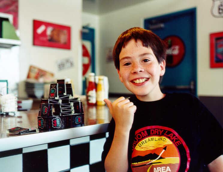
At the Uranium Cafe in Grants, NM, Ryan dines near the west end of a east-bound 50% '55 Chevy. 66:51
In the distance lies Chaco Canyon, NM.
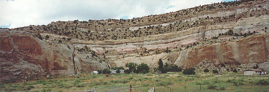
These canyons looked painted. 66:51
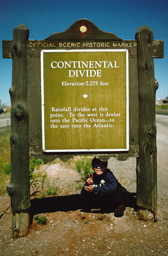
West of Thoreau, NM, is the Continental Divide. 66:51
Go out right now and rent the video Ace in the Hole aka The Big Carnival. It was filmed here near Manuelito, NM. 66:51